IN THE EVENT OF AN EMERGENCY THIS SITE IS NOT MONITORED. FOR CURRENT INFORMATION GO TO HTTPS://EMERGENCY.MARINCOUNTY.GOV.


Sign up for our Newsletter
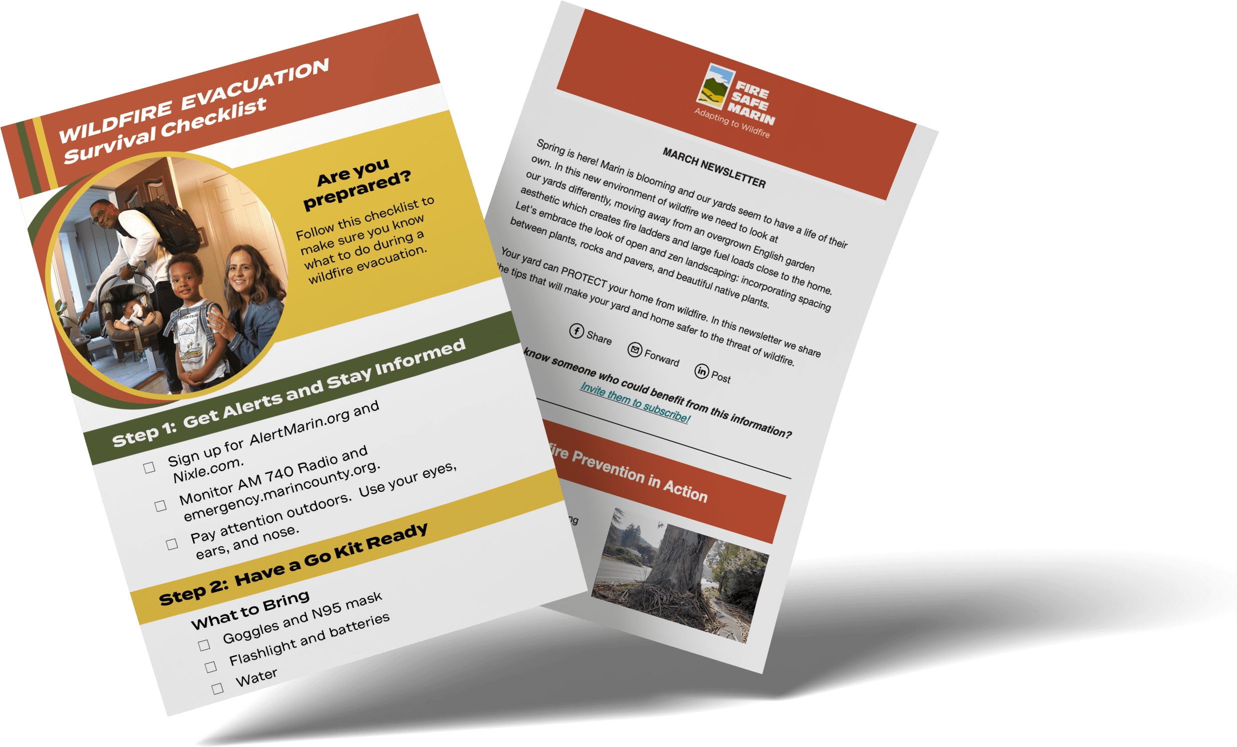
Sign up to receive Fire Safe Marin's monthly e-newsletter. Includes timely wildfire safety tips, updates, and prevention and preparedness efforts in Marin County.
FSM YouTube Channel
Fire Safe Marin produces high quality videos, explaining wildfire risks and solutions. Check out popular playlists, like Mythbusters that tackle the most common misconceptions about wildfire safety or the Did you know? series, offering short explanations of wildfire basics.
If you want a deeper dive into wildfire science, watch videos like Wildfire Behavior with Mark Brown.
Subscribe and keep up to date on our latest productions.
Bulletin

PG&E notifies County about planned action starting Wednesday, July 15. The following content is from the County of Marin's news release issued on July 14, 2026: The County of Marin…
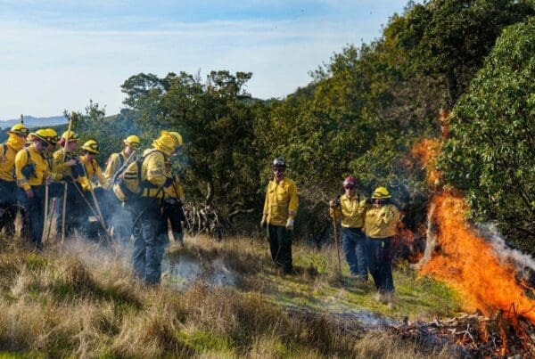
Across Marin County, the need for a skilled, locally rooted wildfire and public safety workforce continues to grow. Yet many people who could thrive in these careers may not know…
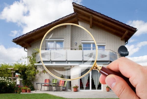
Please note that Fire Safe Marin provides wildfire preparedness information and general guidance, not legal, financial, or insurance advice. How to protect your home, your finances, and your options Having…

Resources Radio is a weekly podcast from Resources for the Future, that features interviews with researchers and leading experts about climate change, energy, ecosystems, and more. Resources Radio episode: "Creating…

Build and Sell Safer Homes with Zone 0 CONTRACTORS Zone 0 improvements give contractors a practical way to help clients reduce wildfire risk through smart design and material choices, as…
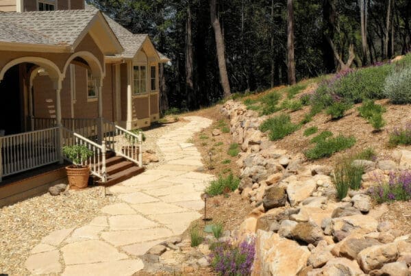
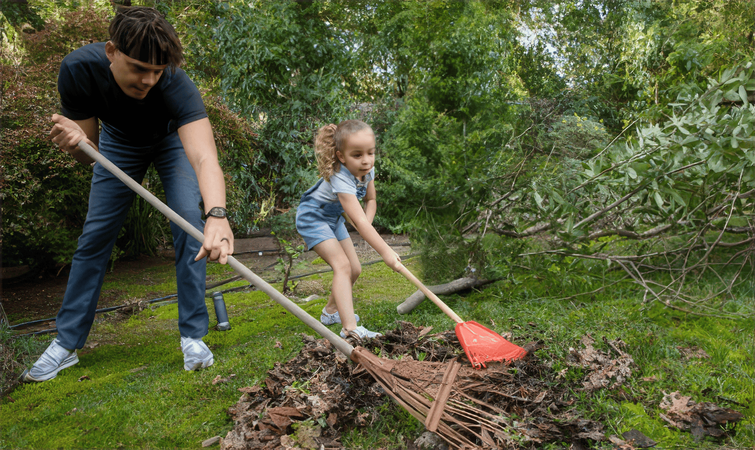
Marin’s hot, dry summers and warm afternoon winds can place significant stress on landscaped plants. During periods of sustained wind and very low humidity, wildfire danger may become extreme, which…
Follow Us On Social Media


Marin County Emergency Resources
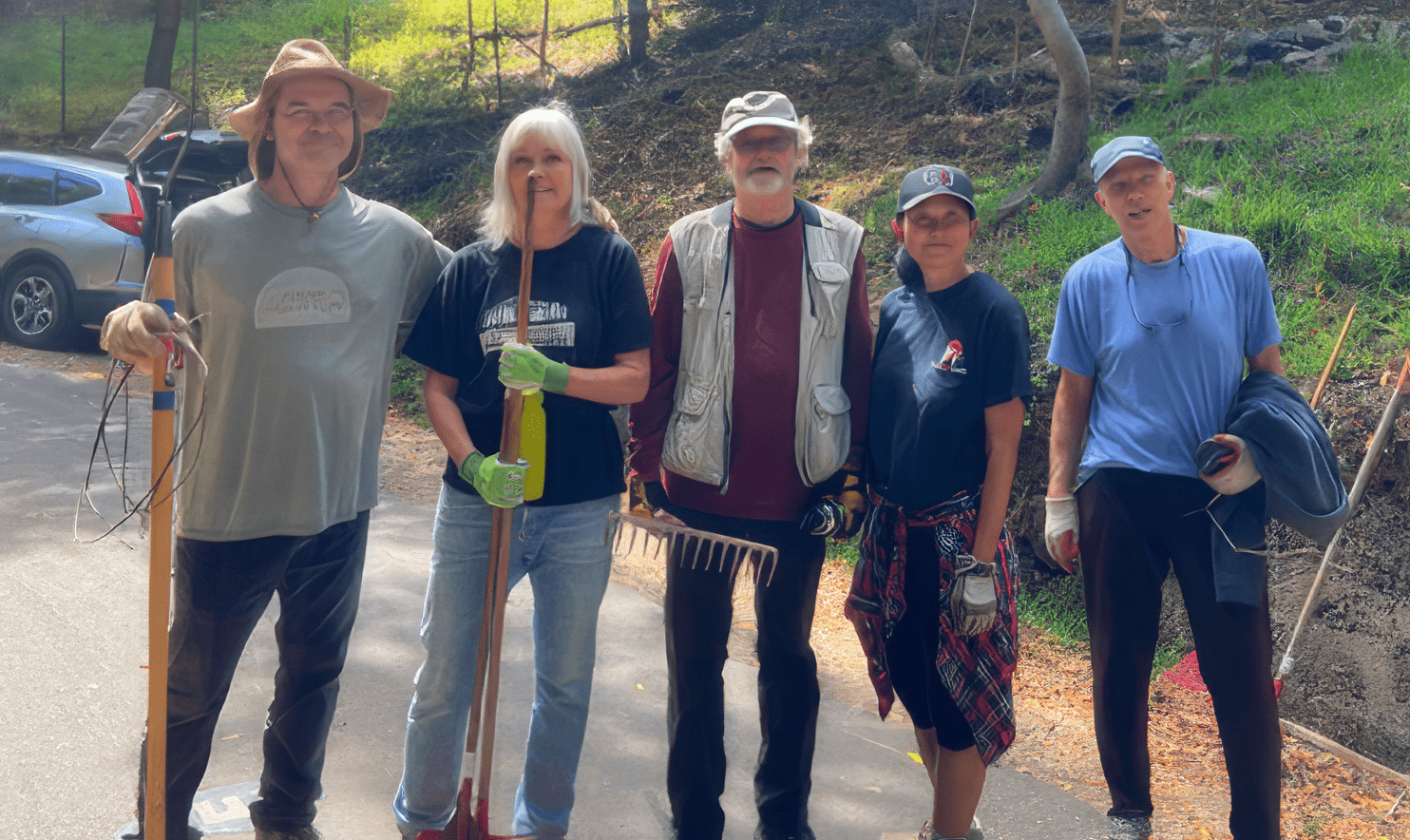
Neighbor 2 Neighbor
Create a Neighborhood Response Group (NRG) to prepare for a disaster and be more resilient